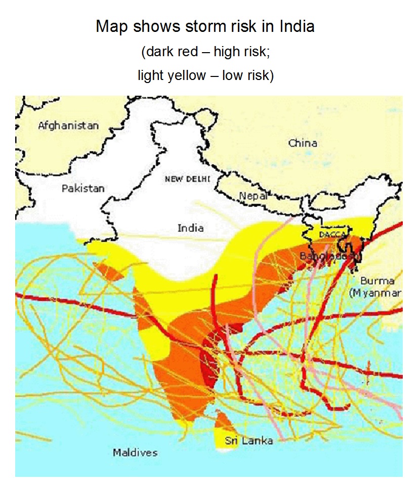
Storm risk in India

The image shows a risk map of India, which was developed using a geoinformation software. The map uses historical data to visualize the past storm areas.
Image Type
Category
Level
Geographic Area
Source
